TfW introduces augmented reality maps for stations
- Like
- Digg
- Del
- Tumblr
- VKontakte
- Buffer
- Love This
- Odnoklassniki
- Meneame
- Blogger
- Amazon
- Yahoo Mail
- Gmail
- AOL
- Newsvine
- HackerNews
- Evernote
- MySpace
- Mail.ru
- Viadeo
- Line
- Comments
- Yummly
- SMS
- Viber
- Telegram
- Subscribe
- Skype
- Facebook Messenger
- Kakao
- LiveJournal
- Yammer
- Edgar
- Fintel
- Mix
- Instapaper
- Copy Link
Posted: 26 May 2023 | Intelligent Transport | No comments yet
Transport for Wales’ new augmented reality maps for key stations aim to enhance accessibility and the passenger experience, while boosting confidence in navigating the rail network.
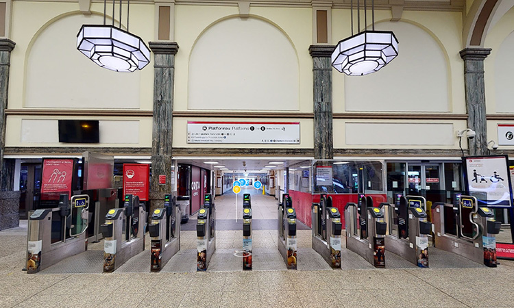
Credit: Transport for Wales
Transport for Wales (TfW) has announced that it has introduced augmented reality (AR) maps of six major stations in an effort to boost passenger confidence and improve accessibility. The interactive maps, created by Briteyellow, aim to assist passengers who may feel nervous about travelling, including first-time visitors and individuals with mobility issues.
The AR maps enable users to easily locate important areas within the stations, such as customer information screens, lifts, toilets, help points and waiting rooms. The first six maps have been developed for Cardiff Central, Cardiff Queen Street, Newport, Chester, Shrewsbury and Pontypridd stations, and can be accessed online.
Michael Davies, Insights and Innovation Manager at Transport for Wales, said: “These maps will enable customers to plan their journey through the station prior to their visit. It’s really a great step towards improving the experience and accessibility needs of our customers, and I’m looking forward to seeing it develop further.”
Transport for Wales launches new on-train Wi-Fi portal with real-time information
The solution for improving communication and station facilities had initially been presented as part of the Lab by TfW programme. The solution aimed to facilitate easy interaction with staff, reduce passenger stress and encourage self-service options. It has since evolved into the BriteWay-XR app, currently undergoing customer testing.
Following its participation in the Lab by TfW programme, the wayfinding company had secured funding from Catapult Connected after winning the Department for Transport‘s (DfT) inaugural Accessibility Transport Research and Innovation Grants Programme. The funding amounted to £120,000. In addition, work is currently underway to re-design the app’s functionality, in order to make it more inclusive and user-friendly.
The introduction of these AR maps and the ongoing development of the app represent significant strides in improving passenger experiences and accessibility within the rail network.
If you liked this, you may also be interested in:
▶ Exploring TMB’s innovation strategy: Balancing sustainability and cost-effectiveness
▶ Creating a smarter and more sustainable city: The role of artificial intelligence and open data
Related topics
Intelligent Transport Systems (ITS), Passenger Accessibility, Passenger Experience, Public Transport
Related modes
Rail
Related countries
United Kingdom, Wales
Related organisations
Department for Transport (DfT), Transport for Wales (TfW)
Related people
Michael Davies