Spin announces integration with Google Maps
- Like
- Digg
- Del
- Tumblr
- VKontakte
- Buffer
- Love This
- Odnoklassniki
- Meneame
- Blogger
- Amazon
- Yahoo Mail
- Gmail
- AOL
- Newsvine
- HackerNews
- Evernote
- MySpace
- Mail.ru
- Viadeo
- Line
- Comments
- Yummly
- SMS
- Viber
- Telegram
- Subscribe
- Skype
- Facebook Messenger
- Kakao
- LiveJournal
- Yammer
- Edgar
- Fintel
- Mix
- Instapaper
- Copy Link
Posted: 20 August 2021 | Intelligent Transport | No comments yet
In addition to being able to see the nearest available Spin e-bike or e-scooter, Google Maps users will also see how long it will take to walk to the vehicle, battery range and estimated arrival time.
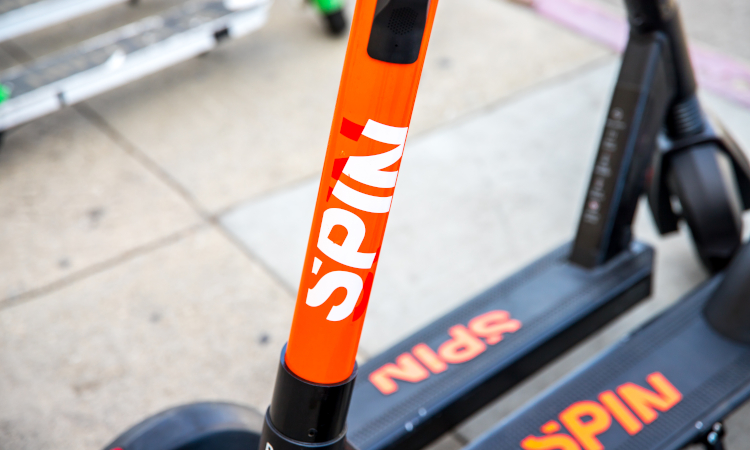
People using Google Maps for efficient and reliable journey planning are now able to discover Spin e-scooters and e-bikes when given route options for their journeys. When looking for directions, Google Maps users can easily locate Spin vehicles in 84 towns, cities and campuses in the U.S., Canada, Germany and Spain.
Google Maps users are able to see, in real-time, the nearest available Spin e-bike or e-scooter, including how long it will take to walk to the vehicle, as well as battery range and expected arrival time. Users will then be directed to the Spin app to pay for the vehicle, unlock it and take their ride.
“With this integration, Spin is making it easier for millions of Google Maps users to easily incorporate shared bikes and scooters into their daily trips,” commented Ben Bear, CEO of Spin. “Our goal is to make it as low friction as possible for consumers to plan multimodal journeys. It needs to be just as easy, and even more convenient, to get around with bikes, buses, trains and scooters as it is with a personal car. This collaboration with Google is our biggest platform integration yet, with many more in the pipeline.”
Micromobility is continuing to gain traction to become a mainstream transportation solution for those living in urban areas or campuses. As e-scooters and e-bikes are being increasingly built into journey-planning platforms, residents and visitors can more easily take a multimodal approach to the way that they get around cities.
This latest integration follows Spin’s recent addition into a number of global and regional journey planning platforms such as CityMapper, Moovit, Transit and Kölner Verkehrs-Betriebe (KVB).
Related topics
Mobility Services, Passenger Experience, Public Transport
Related modes
Bikes & Scooters
Related organisations
Google Maps, Spin
Related people
Ben Bear