Using data to improve the e-scooter experience for everyone
- Like
- Digg
- Del
- Tumblr
- VKontakte
- Buffer
- Love This
- Odnoklassniki
- Meneame
- Blogger
- Amazon
- Yahoo Mail
- Gmail
- AOL
- Newsvine
- HackerNews
- Evernote
- MySpace
- Mail.ru
- Viadeo
- Line
- Comments
- Yummly
- SMS
- Viber
- Telegram
- Subscribe
- Skype
- Facebook Messenger
- Kakao
- LiveJournal
- Yammer
- Edgar
- Fintel
- Mix
- Instapaper
- Copy Link
Posted: 15 October 2021 | Dr Suzanne Little - Dublin City University | No comments yet
Dr Suzanne Little, SFI Principal Investigator at the Insight SFI Research Centre for Data Analytics and Associate Professor in the School of Computing at Dublin City University, tells Intelligent Transport about the Dublin City University e-scooter research pilot and explains how the project is using data to improve the passenger experience.
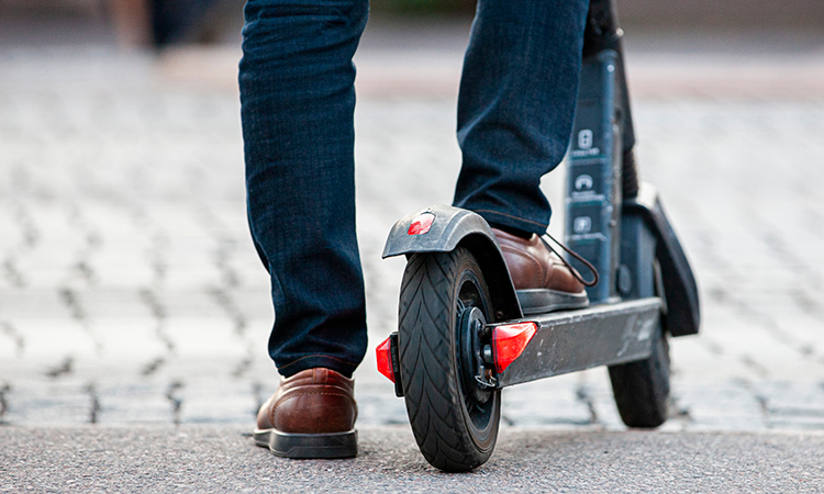

An artificial intelligence-powered e-scooter research pilot recently launched at Dublin City University (DCU) aims to set the bar for e-scooter safety standards in Ireland and will involve the collaboration of four organisations: Europe’s largest e-scooter operator, TIER Mobility; Irish micro-mobility tech platform, Luna; the Insight SFI Research Centre for Data Analytics; and Smart DCU (a district of Smart Dublin).
The instrumented e-scooters offer an unprecedented opportunity to gather detailed data to better understand micro-mobility and support new means of travelling in urban environments. The data gathered will primarily be vision data from onboard cameras with route information, including position and usage times, and other sensor data, such as gyroscopes and accelerometers.
The importance of privacy and ethical practices in relation to data collection according to GDPR apply to data in this project, and no personal or individual data is required for this analysis.
The pilot study will consider applications such as road condition monitoring, street infrastructure mapping and kerbside management applications, as well as heat mapping of footpath riding incidents as an indicator of problematic junctions or cycling infrastructure.
Why collect so much data?
Our aim in doing all of this is to better understand how scooters are used, to find ways to encourage good rider behaviour and to use the scooters to identify ongoing infrastructure requirements and improvements.
When we research in the lab, we have to make assumptions about what the usage scenarios will look like. Is the surface smooth? Well-marked? Are there obstacles? Lots of people and cars? Is it raining? Sunny? Snowing? The pilot gathering of data will allow for a richer, more interesting and more complete understanding of e-scooter usage in the real world.
For example, in this pilot study, data is captured continuously rather than only during a pre-selected period, so there is better coverage of environmental variations – such as weather and time of day – and a greater variety of users with individual riding styles and routes.
For researchers from Insight, the large quantities of video data aligned with the route information and other sensors provide an exciting opportunity to develop and improve analytics tools that identify route obstacles; classify rider, pedestrian and driver behaviour; and identify potential infrastructure issues.
Most machine learning and computer vision solutions use supervised learning methods that involve analysing many, many examples of the objects or scenarios that you want the computer system to identify. This works really well for common situations (car, tree, road sign), but, if you want to identify anomalies or loosely defined scenarios (‘safe to drive’, ‘more enjoyable route’), then this is much more difficult. The data gathered in this pilot study can help us to better understand the reality of operating an e-scooter on the university campus and how to build systems with greater knowledge of their operating environment.
The resulting understanding isn’t necessarily used to police individual behaviour, but rather to get a more complete picture of how e-scooters are used; the causes of behaviour such as riding on pavements; and the challenges faced by riders that might discourage them from using micro-mobility solutions. This overview, combining the experience and data of the individuals to understand the whole, can be used by developers, operators and policy makers to improve uptake and acceptance by the general public.
A different perspective
You can find an example of this type of approach in a recent project by the Insight SFI Research Centre for Data Analytics. Crowd4Access1 uses citizen science to gather photographs highlighting possible obstructions and mobility issues for pedestrians who use mobility aids such as wheelchairs, long canes, crutches, etc.
Participants take photographs using their mobile phones and map them using Open Street Maps to get a continuous overview of possible issues. Computer vision technologies can then be used to analyse and identify objects such as tactile pavements, lowered kerbs and so-on, and subsequently build a more complete picture of mobility issues to feedback to both individual users looking for better routes, but also at a city and planning scale to improve and identify solutions for better mobility.
The DCU e-scooter pilot project provides the opportunity to continue this work, using the technologies being developed for Crowd4Access on images captured from cameras on the e-scooters.
Perspective matters. Crowd4Access needed to use handheld mobile footage rather than relying on cameras mounted on vehicles or dashcams. Dashcams give a good sense of a driver’s perspective, but they are not particularly helpful when trying to gather data for pedestrians, as the viewpoint precludes reliably capturing the pavement and a pedestrian‑centred view of the route. You need the pedestrian’s viewpoint. Similarly, the data captured from e-scooters will provide a much richer understanding of micro‑mobility needs independently of roads and motor vehicles.
For the successful deployment and integration of micro-mobility solutions in Ireland, this project will provide examples of how instrumented and AI-powered solutions can safely and enjoyably operate in conjunction with existing infrastructure. The gathering and analysis of data on routes and rider behaviour allows a holistic and wide angled view of how the scooters will be used that can inform users, developers, operators and local government.
References


Related topics
Artificial Intelligence, Passenger Experience, Vehicle & Passenger Safety
Issue
Issue 3 2021
Related modes
Bikes & Scooters
Related organisations
Dublin City University (DCU), Insight SFI Research Centre For Data Analytics, Luna, TIER Mobility
Related people
Dr Suzanne Little


