Apple makes mobility data available to aid COVID-19 decisions
- Like
- Digg
- Del
- Tumblr
- VKontakte
- Buffer
- Love This
- Odnoklassniki
- Meneame
- Blogger
- Amazon
- Yahoo Mail
- Gmail
- AOL
- Newsvine
- HackerNews
- Evernote
- MySpace
- Mail.ru
- Viadeo
- Line
- Comments
- Yummly
- SMS
- Viber
- Telegram
- Subscribe
- Skype
- Facebook Messenger
- Kakao
- LiveJournal
- Yammer
- Edgar
- Fintel
- Mix
- Instapaper
- Copy Link
Posted: 15 April 2020 | Sam Mehmet (Intelligent Transport)
In a bid to aid decision makers, such as those in transport governance, Apple has made aggregated navigation data from Apple Maps available to provide mobility trends for cities and countries or regions.
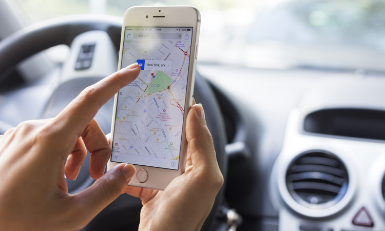
Apple has released a mobility data trends tool from Apple Maps to support the impactful work happening around the globe to mitigate the spread of COVID-19. Apple stated that the mobility data may be used as a foundation for new public policies by showing the change in volume of people driving, walking or taking public transit in their communities, as well as an aid for local governments and health authorities.
Maps does not associate mobility data with a user’s Apple ID, and Apple does not keep a history of where a user has been. However, using aggregated data collected from Apple Maps, the new website is said to indicate mobility trends for major cities and 63 countries or regions.
The information is generated by counting the number of requests made to Apple Maps for directions, and the data sets are then compared to reflect a change in volume of people driving, walking or taking public transit around the world. Data availability in a particular city, country, or region is subject to a number of factors, including minimum thresholds for direction requests made per day.
Apple has contributed in a number of ways to the response to COVID-19, and to accelerate contact tracing, Apple recently launched a joint effort with Google to enable the use of Bluetooth technology to help governments and health agencies reduce the spread of the virus, with user privacy and security central to the design.
Apple also released a new screening tool and set of resources to help people stay informed and take the proper steps to protect their health during the spread of COVID-19, based on the latest CDC guidance.
Related topics
COVID-19, Infrastructure & Urban Planning, Travel & Passenger Information, Vehicle & Passenger Safety
Related organisations
Apple