Waze to share traffic data with transport authorities
- Like
- Digg
- Del
- Tumblr
- VKontakte
- Buffer
- Love This
- Odnoklassniki
- Meneame
- Blogger
- Amazon
- Yahoo Mail
- Gmail
- AOL
- Newsvine
- HackerNews
- Evernote
- MySpace
- Mail.ru
- Viadeo
- Line
- Comments
- Yummly
- SMS
- Viber
- Telegram
- Subscribe
- Skype
- Facebook Messenger
- Kakao
- LiveJournal
- Yammer
- Edgar
- Fintel
- Mix
- Instapaper
- Copy Link
Posted: 2 October 2019 | Intelligent Transport
Crowd-sourced road and traffic data from Waze is to be used by transport authorities to analyse and plan the future of transport.
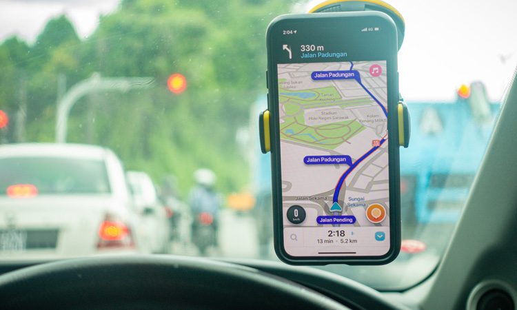
Mapping service Waze is to make data gathered from across the UK accessible to local authorities to help them plan transport upgrades in the future.
The tech firm’s maps use crowd-sourced data from users to update traffic conditions and live information about road congestion or accidents.
The company has announced that it will make its Waze for Cities Data available for more than 1,000 global partners to seamlessly access Waze made available on the Google Cloud Platform, with 12 initial partners in the UK.
This includes transport authorities in the West Midlands, Oxfordshire, Essex, Greater Manchester, Leeds, Middlesbrough and London.
The anonymous data, which has been collected since April 2019, will enable authorities to review and analyse transport patterns over time, and then use information to analyse trends throughout projects and help with traffic planning in the future. Partners can also privately secure, store and organise information, and are in control of their own data.
Dani Simons, Head of Public Sector Partnerships at Waze, said: “Waze has been a pioneer in sharing data with cities and working with them to improve infrastructure and fight traffic. But over the past five years, the landscape has changed.
“Cities have more data than ever, but they want better tools to analyse it and be able to put it to use to improve their streets.
“We are thrilled to provide this integration with Google Cloud that will make it even easier for our Waze for Cities partners to more seamlessly organise, store, interpret and share transportation data and insights.”
Anne Shaw, Director for Network Resilience at Transport for West Midlands, said: “Waze for Cities’ integration with Google Cloud has enabled us to access a vital amount of information about our local road network.
“Consistent across a wide area, we are able to trace issues on the road along with other points of the network, like looking at the performance of traffic lights or the conditions of a certain road.
“The free data has helped us revolutionise our transport monitoring and co-ordination systems working within our wider transport partnership with transport authorities and operators.”
With the availability of Waze’s cities data, Waze for Cities partners will also have access to the data warehouse tool BigQuery and data visualisation tool Data Studio. These tools will make the data even easier to interpret and communicate to non-technical audiences.
Related topics
Intelligent Transport Systems (ITS), IoT (Internet of Things), Passenger Accessibility, Traffic Management, Travel & Passenger Information
Related organisations
Google Cloud Platform, Waze
Related people
Anne Shaw, Dani Simons